Ensuring Public Safety
Oakport Township, now part of the city of Moorhead, Minn., is situated along the Red River and the Oakport Coulee. Oakport, along with most communities in the area, has been reacting to a cycle of rising flooding waters and the impacts for more than a decade. After the 1997 flood, Ulteig was retained to initiate a study to assess various possible solutions and recommend to the Township the most viable solution for resolution of flood-related impacts, based on 1997 river hydraulics. The findings of Ulteig’s study are summarized in a Flood Mitigation Plan Report.
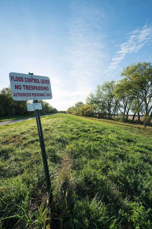
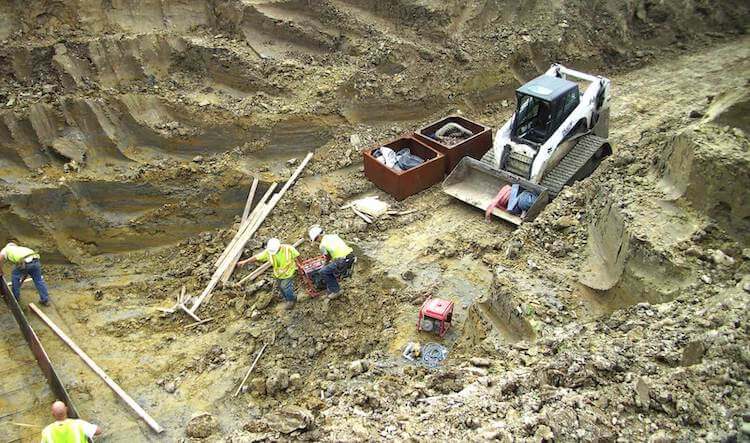
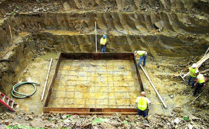
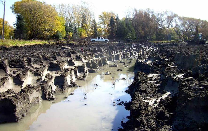
In 2000, the project proceeded to a Phase I Environmental Study conducted by the USACE – St. Paul District office. In 2003, Ulteig began preparing preliminary design and additional river hydraulic analysis. Ulteig also conducted a benefit-cost analysis that met the USACE’s criteria. Ultimately, Oakport Township received sponsorship from the Buffalo-Red River Watershed District to design and construct the Oakport Flood Mitigation project to reduce future flood damage to 310 existing structures as well as future development in a 750-acre area of Oakport Township. The Oakport Flood Mitigation project is a 6-mile earthen levee system that includes five separate interior drainage systems, five 100-year regional stormwater retention basins, and five 5,000 gpm stormwater pumping stations.
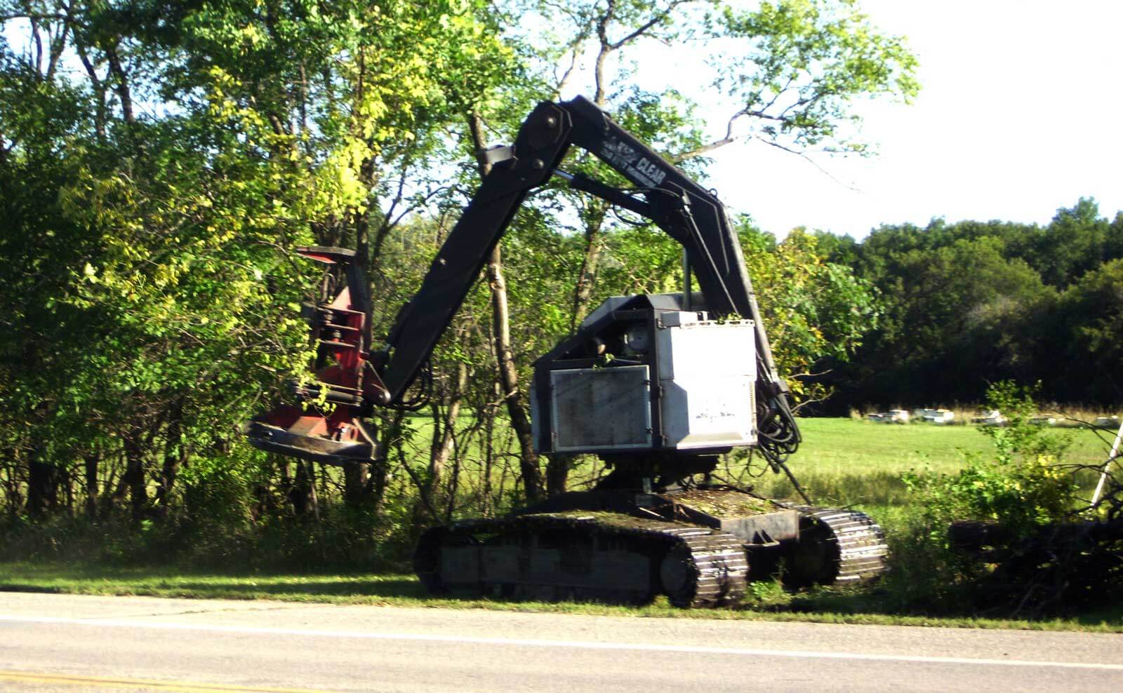
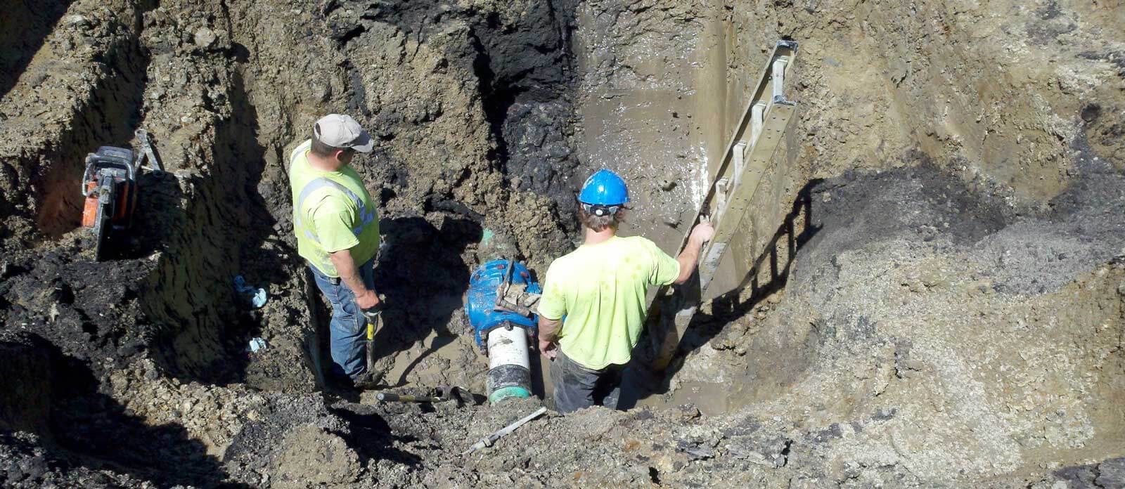
This project also included the complete reconstruction and road raise of 3 miles of Clay County highways and the development, permitting, and construction of the wetland mitigation plan, which utilized a combination of on-site restoration and creation along with wetland banking to mitigate the project’s 10-acre wetland impact. Project design is based on the USACE standards to meet FEMA certification requirements.
In 2008, Ulteig started to plan design work based on the funding that was available at the time. The work was broken into multiple phases and then constructed gradually as funding became available. During construction, the area was impacted by additional flooding in 2009, 2010 and 2011, so we responded by scheduling our efforts strategically to protect areas that were most vulnerable.
Now with construction complete, Ulteig is working to receive levee certification from Federal Emergency Management Agency (FEMA) for accreditation. To date, 6 miles of protection have been constructed, which includes 3.5 miles of county highway that were converted to functional levees, complete with an operation and maintenance plan to ensure public safety during future flood events. The cost of this project is estimated to exceed $30 million, resulting in the protection of more than 300 homes and more than 750 acres of property.
Once the flood control levees are certified, Oakport Township residents living inside the protected area will see a significant reduction in their annual flood insurance premiums.
Services provided by Ulteig include:
- HEC-RAS hydraulic modeling
- Engineer’s report (preliminary design and economic feasibility report)
- Environmental Assessment Worksheet (EAW)
- Earthen levee design (per USACE Design Standards)
- Flood control structures design
- Interior drainage and storage design
- Wetland mitigation plan and permitting
- Conditional Letter of Map Revisions (CLOMR)
- Coordination of geotechnical analysis
- Public hearings and public input meetings
- Topographic surveying
- Legal surveying (easement exhibits, certificate of surveys, and government corner certificates)
- Construction observation and staking
- Contract administration