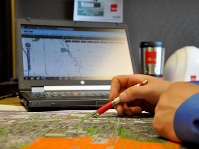
Customized Geospatial Solutions
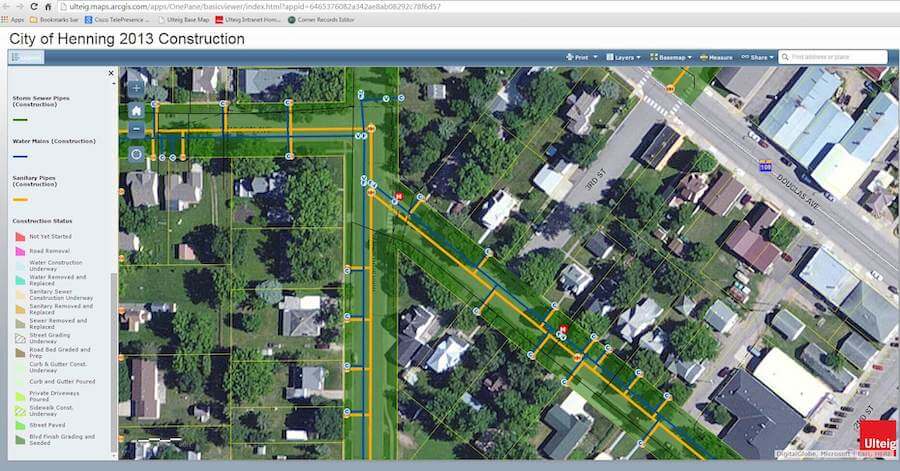
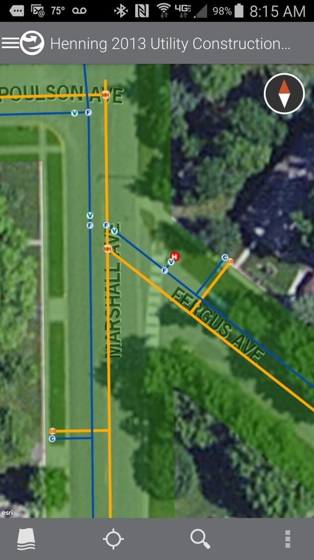
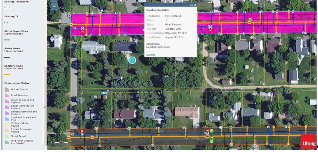
The survey consisted of collecting approximately 700 features, including curb stops, valves, hydrants, and sanitary sewer manholes. The first phase of the project included an on-site assessment of their current business needs and goals. Specific attention was given to their data needs, which included accuracy requirements and determining development of a data management plan. Ulteig’s GIS staff compiled and configured the GPS-collected data into a usable GIS format suitable for ArcView mapping software. On-site customized training was provided for the City’s Public Works staff to update and maintain their GIS System. Ulteig used a combination of professional GPS Survey and mapping techniques, along with on-site training, to successfully deliver a comprehensive water and sanitary sewer distribution mapping system.