Flood Risk Reduction Design
The original scope of the preliminary design required determining the most efficient option for a flood-risk reduction project for providing permanent flood protection for the neighborhood to an elevation of 907 feet, or a river flood stage of 40.4 feet. The project also needed to reduce the impacts to the adjacent landowners.
After the flood of 2011, the scope of the project was expanded to provide the neighborhood with a permanent flood protection system to be built to certifiable standards. These standards changed many aspects of the project, most notably, the protection level and the increased area of permanent acquisition.
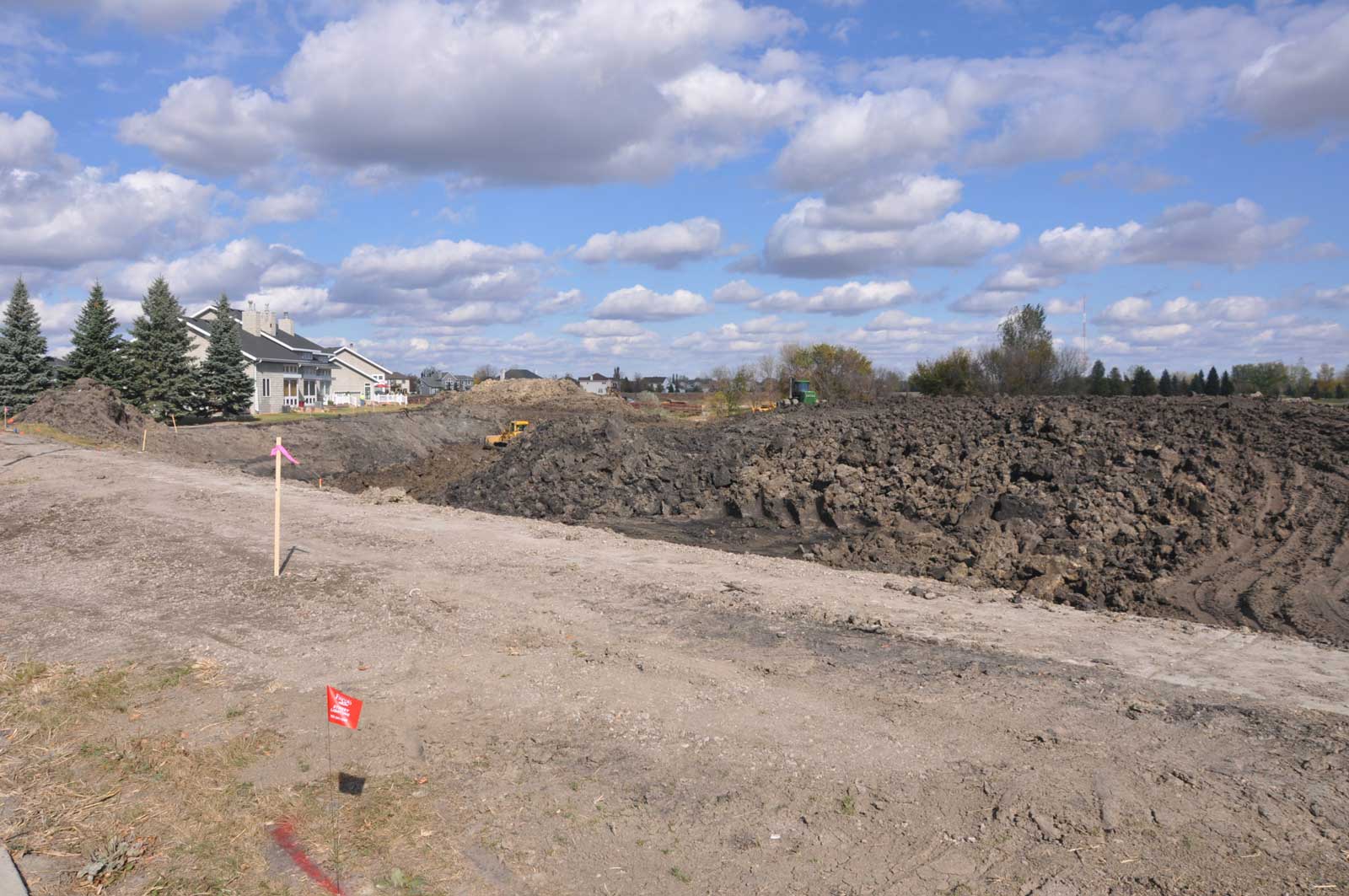
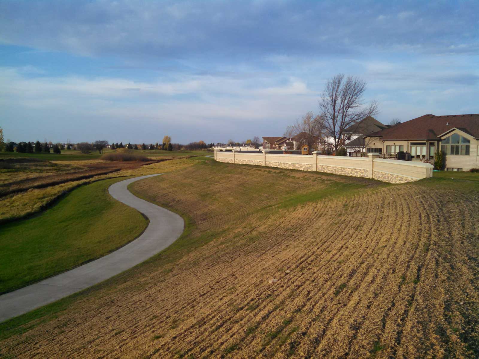
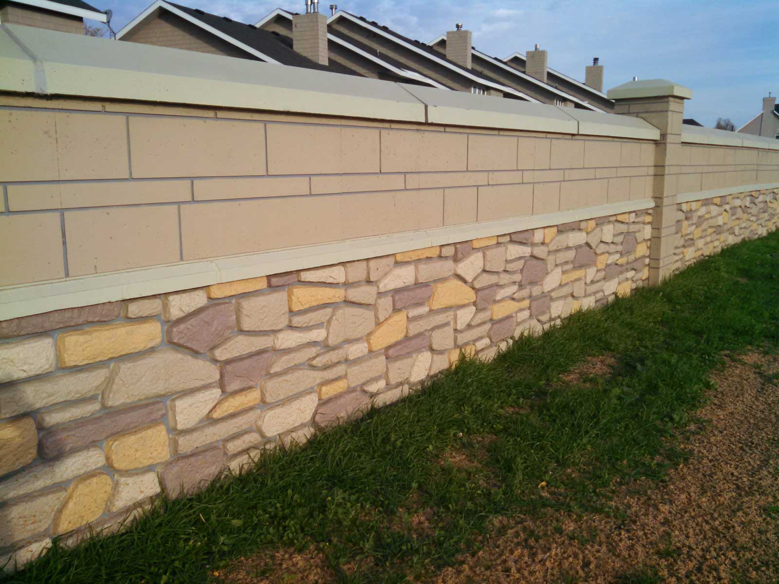
The protection level was then increased from the 907 feet elevation to 910 feet to accommodate the minimum elevation required for a certified earthen levee. The footing design was increased to accommodate the construction of structural floodwalls in the future to produce a final flood protection elevation of 913 feet. Ultimately, the Rose Creek Flood Mitigation project consists of 1,300 linear feet of earthen levees, 1,900 linear feet of structural flood walls, and an internal drainage system that includes two future stormwater pumping stations. The project also includes securing permanent easements on 16 properties along the project corridor. The project design uses the USACE design standards that will enable it to meet FEMA certification requirements.
Water surface elevations were well-documented in the channel from past major flood events between 1997 and 2009, which assisted the modeling efforts. During major flooding events like the one that occurred in 1997, overflows from other conveyance systems, such as the Wild Rice River tributary to the Red River, exceeded their individual capacities and caused the excess to flow into neighboring systems, such as Drain 27 and Drain 53, which supply Rose Coulee.
Therefore, modeling of spring events was determined to be unnecessary because of excessively high river stages from the Red River that backup through the drain system of Rose Coulee. Using the existing US Army Corps of Engineers (USACE) HEC-RAS model for the Fargo Southside Flood Study interior watershed model developed by another firm, an analysis was performed to calculate water surface elevations along Rose Coulee for normal free flow through the culvert structure at University Drive.
This analysis was performed to determine the impacts of design components for the proposed levee system on the existing water surface profile of Rose Coulee. Analyses were specifically made for a proposed box culvert installation to remedy instability issues regarding raising the earthen levee along Rose Coulee. The analysis was performed using a range of flood discharges varying in excesses to determine the feasibility of the proposed box as a solution to mitigate geotechnical issues concerning the design and to accommodate the certification requirements for the proposed levee system.