Ulteig recognizes that as grid modernization and new initiatives take hold in the federal legislature and state governments,…
Category Archives:
Ulteig Fights Tight Timeline to Secure Environmental Permits and Improve Passing Lanes along U.S. 52
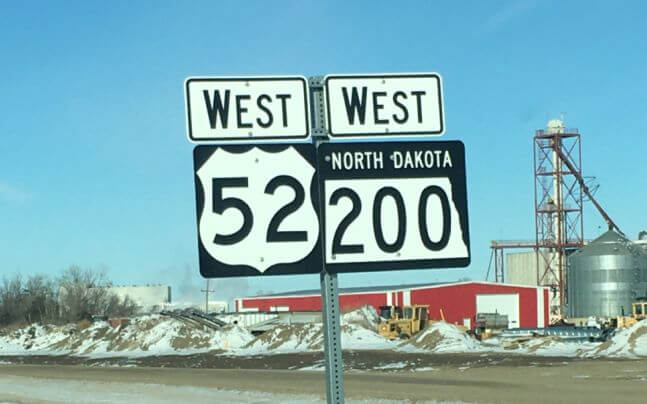
Carrington, North Dakota – Running through the heart of North Dakota, from the prairie pothole region in southeastern…
One Common Language: How Ulteig’s Advanced GIS Capabilities Are Revolutionizing Management of Lifeline Sector Projects
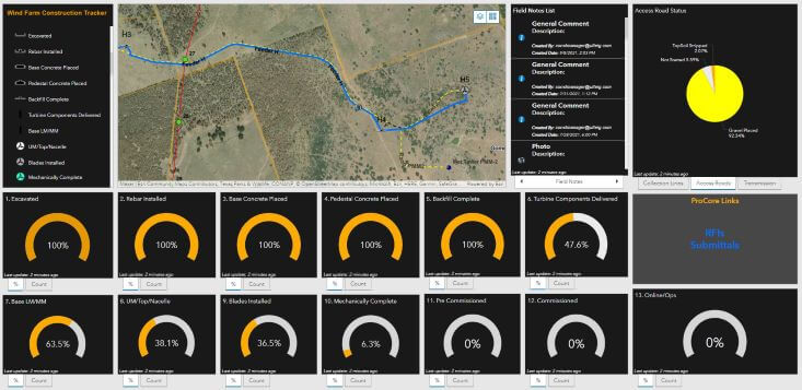
Intertwining geospatial data, program and project management support, technology integration and team communication into one simple, user-friendly interface,…
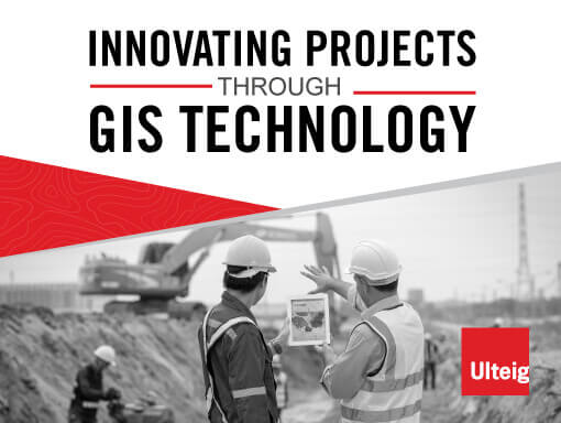
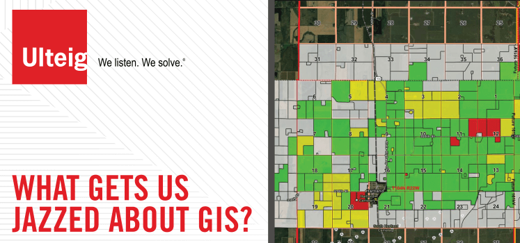
Leveraging the Power of GIS to Increase the Effectiveness of Infrastructure Design, Planning and Construction
Celebrating GIS Technology and its Impact on International GIS Day, November 17, 2021 The average person may look…
Increase Cost Effectiveness by Incorporating GIS Into Your Next Project
We are constantly seeking new ways to improve the way work is performed. A recent Ulteig innovation involves…
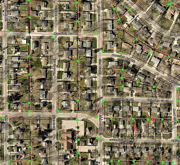
Utilizing GIS Technology for Field Based Distribution Design
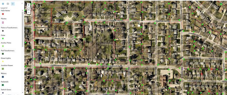
One of our power clients reached out to us in search of a solution for a field-based design…