We Innovate and Deliver
Crowned Ridge Wind Project
In 2017, planning and design began on a 600-megawatt wind farm project in northeastern South Dakota that covered approximately 225 square miles. The footprint of the project was expanded twice, impacting multiple areas of cultural and environmental significance.
In the early-stage phases of the project, the Ulteig Land Services team collaborated with the client and their team of professionals to define transmission line and collection system routes, turbine locations and access road routes. Because the routes to various turbine sites were in close proximity to culturally sensitive tribal land, survey accuracy was critical to avoid those areas. Ulteig worked hand-in-hand with tribal members throughout the entire process, including during project layout, to ensure that the integrity of those areas were upheld and all parties were aware of the avoidance areas. Routes were mapped out in real-time utilizing mobile technology methods that combined on-the-ground locations of the proposed structures, disturbance areas and predetermined sensitive areas to be avoided.
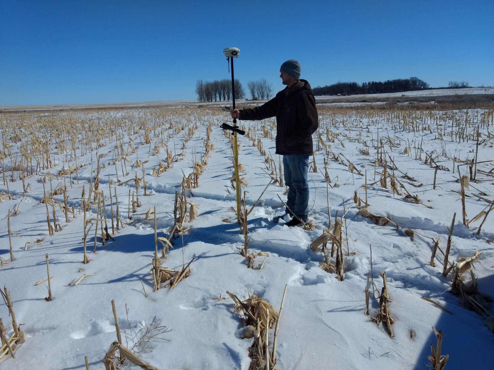
When several entities are involved in a project, it is crucial to have a high accuracy control network in place so that all stakeholders are working from the same earth-based coordinate data. Ulteig developed the survey control network for this project and collaborated with all stakeholders to match design plans. This allowed layout locations and guidance by Ulteig’s Survey team to deliver the locations in real-time and to achieve positional accuracies of 1 centimeter when necessary.
The micro-siting of the wind turbine locations is commonly a critical activity to the layout and approval of final turbine location when constrained by cultural and environmental factors. Often, when micro-siting, a desktop engineer will place proposed turbine locations as pins on the GIS-based map on site constraints identified from GIS data they can see in-office, but it’s rare for those constraints to be accurate as to the actual on-the-ground locations. With the processing, transferring and communication of data, the final location approval often takes 5-7 days to finalize. The culturally sensitive constraints were something that could only be identified by in-person partnership on-site. Through the coordination of the environmental, tribal & cultural, and constructability teams, the Ulteig Survey team, through the utilization of the site control network, was able to communicate the result of the field decisions back to the wind engineer. The wind engineer would then relay any adjustments back through Ulteig to the field teams for final and consolidated approval of turbine locations. Through this coordinated effort lead by the Ulteig team, micro-sited locations were commonly approved in less than an hour. This forward step in efficiency was one highly praised by the client as the multi-team collaboration provided real-time results that all could be confident in.
Ulteig managed land title and dwelling inventory, which was utilized as part of the shadow flicker analysis impact as it applied to turbine placement. Working with the client’s land and legal team, Ulteig also provided parcel definition for acquisition of the property needed for the location of future operational facilities including the substation, O&M buildings and the interconnection point.
Our responsibilities continued to grow throughout the project when, because of the relationships we had created and our deep knowledge of the project site, the client named Ulteig the point coordination lead for natural resources, environmental/cultural, and soil boring and testing partners. This role included the schedule management for multiple entities and working with the client’s design, development, and land teams. Ulteig’s team was on-site to guide partners through the project locations by utility terrain vehicle (UTV) to ensure that identified cultural areas were avoided.
Ulteig remained involved with the re-micro siting for fine tuning in specific cases, as well as post-shadow flicker and post-sound analysis. Ulteig was tasked with providing responsive crop damage report data to the client’s land team. Additionally, Ulteig was commissioned for approximately 200 ALTA surveys for the future transfer of property to the end user. Ulteig’s Right-of-Way specialists assisted in the preparations and negotiations of utility crossing agreements.
The approach developed for this project included Cadastral survey network establishment completed by global positioning systems (GPS) and traditional ground-based methods as well as mobile survey methods. Existing GIS mapping information, as it related to environmental and cultural constraints, was aligned to match the real-world locations, and provide a tool to closely navigate throughout the site and situationally be verified as needed. Using survey grade equipment aligned with mobile based mapping and communication technology, the result was the ability to provide functional real-time solutions in the development of this evolving project. The project exemplifies Ulteig’s ability to be innovatively responsive to client requests and successfully collaborate with multiple groups simultaneously.